PANTHER MARTIAL ARTS & FAMILY FITNESS
PRIVATE AND SEMI-PRIVATE SESSIONS ONLY
AT STUDIO AND OUT CALLS
About us
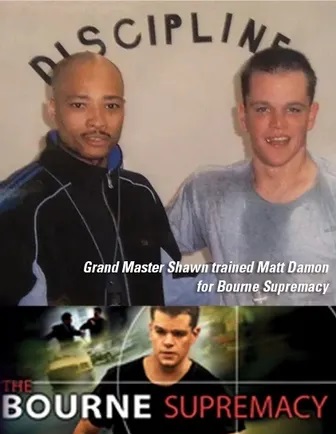
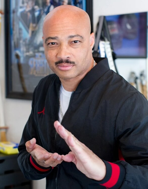
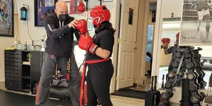
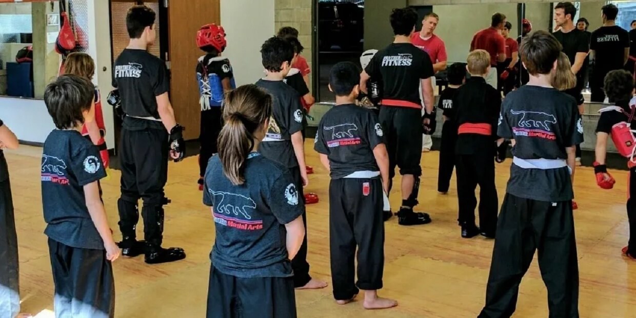
Here at Panther Martial Arts Van Nuys, we offer a variety of mixed martial arts including, Karate & Tae Kwon do classes and private training for kids and adults. Long time dedicated students continue to rave about the benefits of Panther’s classes. Students continue to express that Grand Master Shawn Stallworth and his classes are the best classes they have ever found. Benefits include substantial weight loss, confidence boosting, self defense against bullies, and higher energy and better sleep.
About us
Here at Panther Martial Arts Van Nuys, we offer a variety of mixed martial arts including, Karate & Tae Kwon do classes and private training for kids and adults. Long time dedicated students continue to rave about the benefits of Panther’s classes.
Students continue to express that Grand Master Shawn Stallworth and his classes are the best classes they have ever found.
Benefits include substantial weight loss, confidence boosting, self defense against bullies, and higher energy and better sleep.
Our Services

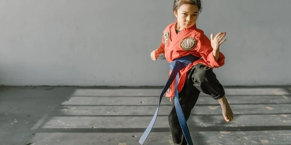
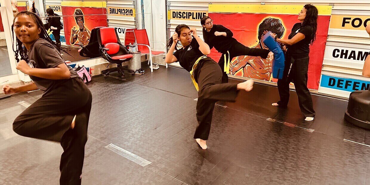
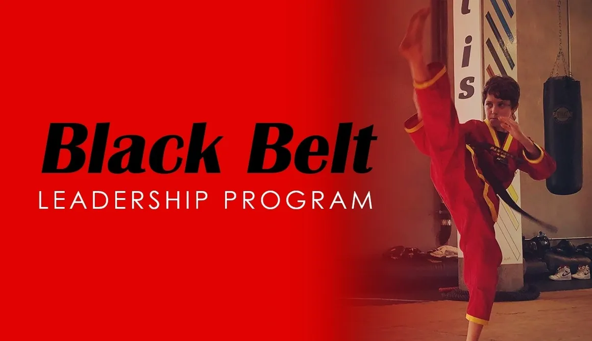
Bullying has quickly become an epidemic in our society. We train students how to defend themselves physically and mentally against bullies. Students learn how to use their bodies for self-defense, and tune their minds for better focus, study habits and sleep. PANTHER Martial Arts also teaches kids the importance of kindness and respect. Give the priceless gift of earning a Black Belt and becoming a PANTHER Martial Artist.
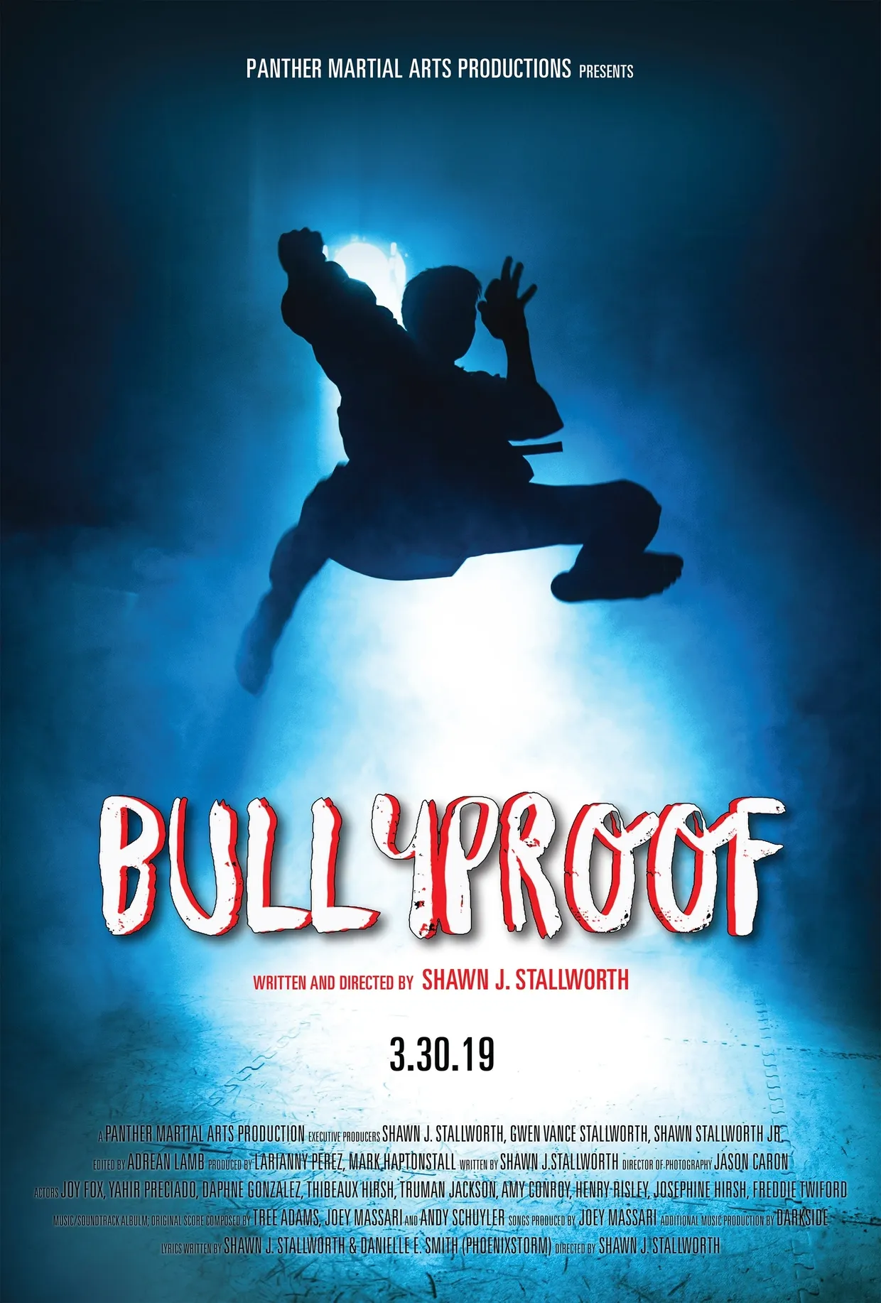
Bullying has quickly become an epidemic in our society. We train students how to defend themselves physically and mentally against bullies. Students learn how to use their bodies for self-defense, and tune their minds for better focus, study habits and sleep. PANTHER Martial Arts also teaches kids the importance of kindness and respect. Give the priceless gift of earning a Black Belt and becoming a PANTHER Martial Artist.
Reviews

Master Shawn and the Panther program has been a great experience! We started our 7-year-old and 11-year-old.
Tessa W.
5/10/2019Shawn and Gwen are legitimately two of the kindest, most magical badasses I've ever met. The classes here are awesome.
Alex H.
4/27/2019I love the vibe at Panther! The studio itself feels like a fitness and positivity oasis in the middle of Hollywood.
Nancy S.
4/17/2019